D Logo Full Logo

GIS Data
Services

We’re all set to take your business to the next level using the power of GIS

GIS Data
Services

We’re all set to take your business to the next level using the power of GIS

Bring your Idea into execution
using Geo Technologies!

Let’s uncover actionable insights and utilize the power of data to augment your business operations!

Companies Served
0 +
Applications
0 +
Projects
0 +
Years of Experience
0 +

GIS Data Services
Process

Our process ensures a seamless user-friendly experience that analyzes data efficiently and disseminates accurate information to the decision-makers.

Want to develop a ground-breaking solution that catapults growth and enhances operational excellence?

GIS
for the Industries

Ever since OneClout came into existence, it has been committed to serving public and private sectors using GIS technologies and bringing much-needed transformation to the stagnant ways. It doesn’t matter what area we tap, we craft industry-oriented winning apps for nearly all industries.

The delivered product incremented growth and helped decision-makers carry out vital decisions.

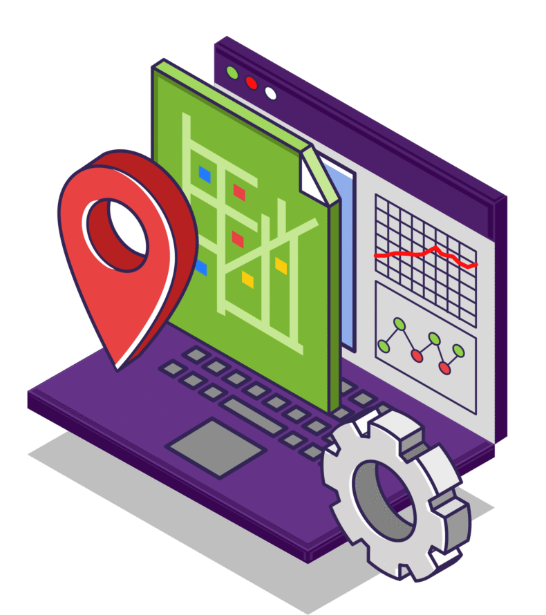
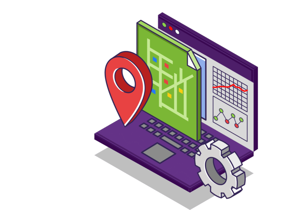
What we offer in GIS Development

Designing an efficient geodatabase to capture, store, analyze, and manage different types of geospatial data is our forte. The process includes the application for soil analysis, adding layers of important data on your map, and generating Geo-Statistical reports. With apt GIS geoprocessing tools, accurate spatial analysis can be done by the users. For a full-fledged GIS app development, our services come really handy.

Indoor Positioning Systems

Indoor mapping or positioning is the next big thing. It utilizes indoor positioning systems to locate objects or people inside buildings using radio waves, magnetic fields, and acoustic signals collected on mobile. Whether it’s a warehouse, hospital, or retail mart, our mobile indoor mapping solutions can revolutionize the science of spatial data.

Mapping and Routing Solutions

Using routing software, generate routes based on different kinds of road networks over base maps like Google, Bing, Here, OSM, or custom maps. You can also add customized ‘restrictions data’ to provide optimized routes. Using cartographic and geospatial intelligence tools, flow maps are delivered to clients ranging from Digital Transportation Industry to the construction industry, etc.

Location-based Services

Use location data geofencing technology to control features in web & mobile applications. Push advertisements when a customer passes by your kiosk or make alerts when anything moves inside or out of your defined geo-fence.

GIS Application Development

Designing an efficient geodatabase to capture, store, analyze, and manage different types of geospatial data is our forte. The process includes the application for soil analysis, adding layers of important data on your map, and generating Geo-Statistical reports. With apt GIS geoprocessing tools, accurate spatial analysis can be done by the users. For a full-fledged GIS app development, our services come really handy.

Location-based Services

Use location data geofencing technology to control features in web & mobile applications. Push advertisements when a customer passes by your kiosk or make alerts when anything moves inside or out of your defined geo-fence.

Related Mobile
app development articles

Why Discovery Process Is Critical For Mobile App Development? How To Initiate the Discovery Process?

How To Choose Mobile App Development Agency: 3 Critical Factors You Shouldn’t Ignore

How To Choose Mobile App Development Agency: 3 Critical Factors You Shouldn’t Ignore

Technology Stack

Python (Django)

Django Rest Framework

Express.js

PHP Laravel

PHP Yii2

CodeIgniter

Angular

React JS

three.js

Mapserver

GeoServer

ChartJS

ChartJS Leaflet

Let's reach your vision, together.

Fill the form below or email us at info@metalabstech.com