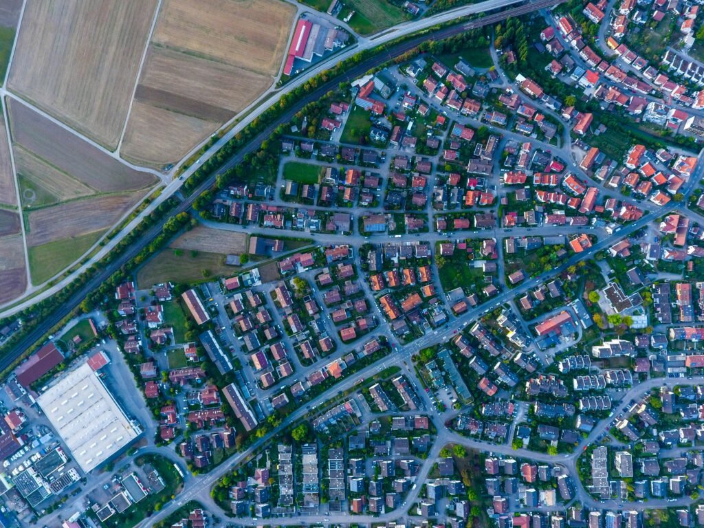

Land parcel mapping is a crucial process for governments, real estate companies, urban planners, and agricultural organizations. Traditional mapping methods can be time-consuming and prone to errors, but GIS (Geographic Information System) software revolutionizes how land data is managed, analyzed, and visualized.
By developing GIS software specifically for land parcel mapping, organizations can unlock efficiency, accuracy, and data-driven decision-making like never before.

GIS software ensures highly accurate parcel boundaries by integrating data from satellite imagery, GPS surveys, and cadastral maps. This minimizes disputes, improves ownership records, and creates a reliable land information database.
With GIS software, large volumes of property and ownership data can be stored in a centralized, easy-to-access platform. This helps government agencies, municipalities, and real estate firms manage land resources more effectively.
GIS software enables instant visualization of property lines, ownership data, and land characteristics. Decision-makers can quickly analyze trends, risks, and opportunities, reducing time spent on manual paperwork.
Although GIS software development requires upfront investment, it significantly reduces costs associated with manual mapping, repeated surveys, and land dispute resolution. Organizations save both time and resources in the long run.
Modern GIS solutions can be integrated with taxation, land registry, utility management, and legal systems. This seamless integration boosts efficiency and ensures that land information is always up-to-date.
GIS software helps monitor land use changes, deforestation, and agricultural patterns. Governments and organizations can use these insights to make environmentally responsible decisions and implement sustainable land policies.
Digital parcel maps created through GIS software can be shared with citizens through web portals and mobile applications, increasing transparency and reducing corruption in land dealings.
Developing GIS software for land parcel mapping is no longer a luxury; it’s a necessity. From accurate ownership records to faster planning and decision-making, GIS technology transforms land management into a data-driven, efficient, and transparent process.
Investing in GIS software ensures long-term benefits for governments, real estate professionals, and communities by creating a reliable, scalable, and future-ready land management system.

September 18, 2024

May 8, 2025

November 2, 2024