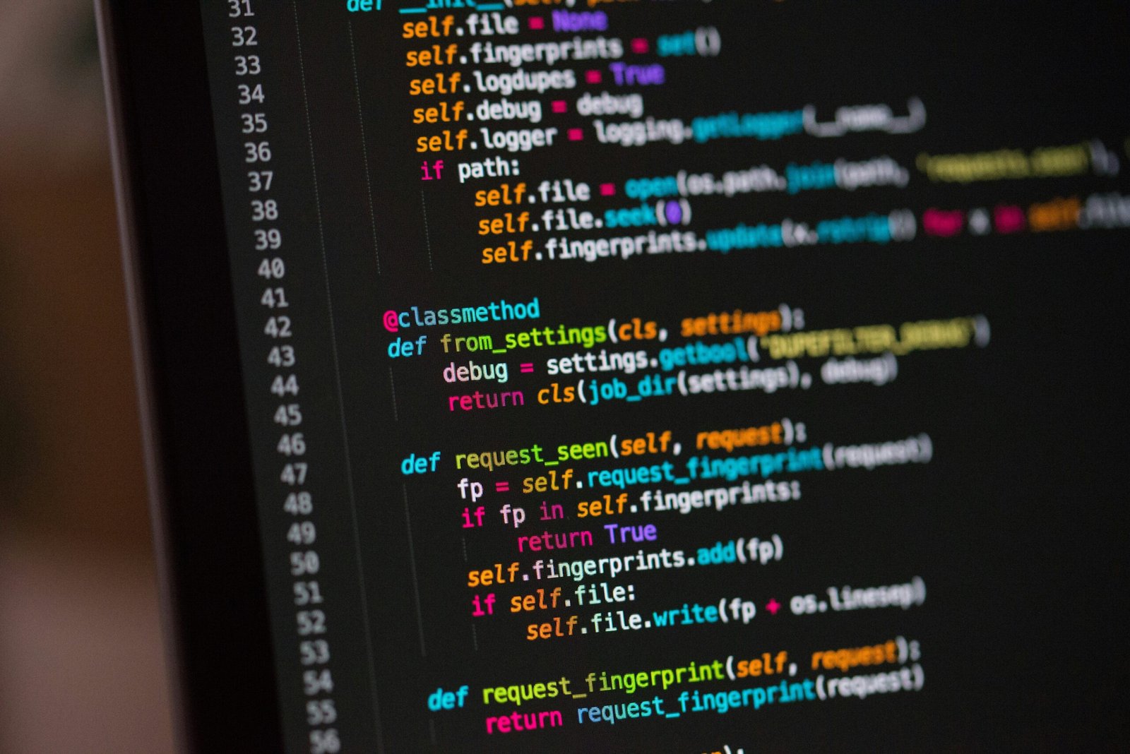

Python has become one of the most powerful and widely used programming languages in the field of Geographic Information Systems (GIS). Its simplicity, versatility, and extensive library support make it a top choice for building GIS mapping applications that handle spatial data, create interactive maps, and deliver real-time analytics. Businesses, governments, and researchers increasingly rely on Python to transform complex geospatial information into actionable insights.
Python’s strength lies in its vast ecosystem of libraries designed specifically for GIS tasks. Libraries like GeoPandas, Shapely, Fiona, Rasterio, and GDAL allow developers to efficiently manipulate vector and raster data, while visualization libraries such as Matplotlib, Folium, and Plotly make it easy to create beautiful, interactive maps. By combining these tools, developers can design GIS apps that integrate satellite imagery, GPS data, and IoT feeds, providing a complete solution for spatial analysis and decision-making.

Another key advantage of Python is its integration with major GIS platforms like QGIS and ArcGIS. Through Python scripting, developers can automate workflows, streamline data processing, and even create custom plugins to extend GIS software capabilities. This makes Python not only ideal for standalone applications but also for enhancing enterprise-level GIS systems.
Python is also perfect for building web-based mapping applications. With frameworks like Django and Flask, developers can create scalable, user-friendly apps that display geospatial data online. Combined with front-end mapping libraries such as Leaflet or Mapbox, Python-powered apps deliver dynamic, interactive maps that can be accessed on any device.
For organizations that rely on spatial data, Python offers cost efficiency, flexibility, and rapid development. It is open-source, backed by a strong community, and compatible with cloud services, making it a future-ready choice for GIS innovation. Whether used for environmental monitoring, smart city planning, logistics, or agriculture, Python provides the tools to build advanced GIS mapping applications that drive smarter decisions.

September 18, 2024

May 8, 2025

November 2, 2024